Foggy Maps
A personal exploration map where fog dissipates where you have walked.
Version: 1.7.3
Added: 03-09-2026
Updated: 15-09-2026
Added: 03-09-2026
Updated: 15-09-2026
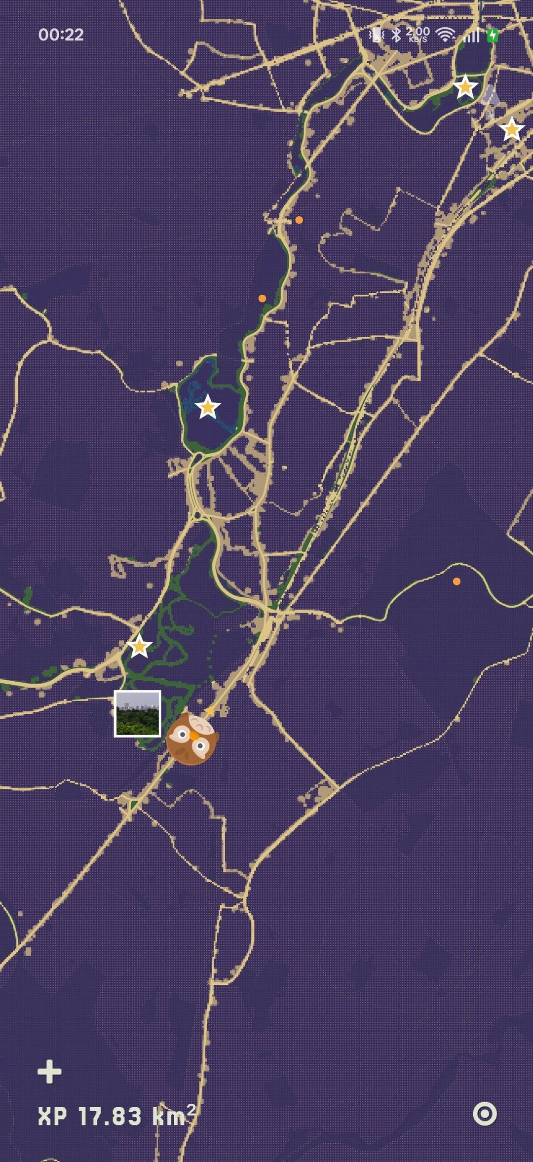
Foggy Maps is a personal exploration map. The whole world starts hidden under a semi-transparent violet fog; as you physically move, the fog dissipates along your path, permanently, with soft dithered edges. The filled-in map becomes a lifetime record of where you have been.
It is not a social network. Your location data stays on your device and moves only where you explicitly send it. Logging, fog clearing and rendering all work offline, and the app asks for nothing on first launch: the map opens fogged, and each permission is requested at the moment you switch the feature on.
Features:
* Live GPS fog clearing on a pixel-art top-down map. The reveal radius follows the fix's own reported accuracy, nudged by the terrain under it, so a precise fix marks a small disc and a vague one is thrown away.
* Dithered gradient fog drawn by a GPU shader, pixel-locked at every zoom.
* Raw track points and a per-tile heatmap stored locally in SQLite. The heatmap is a cache the app can throw away and rebuild from the points.
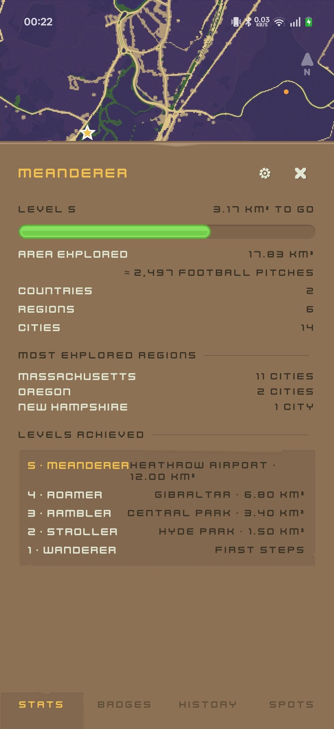
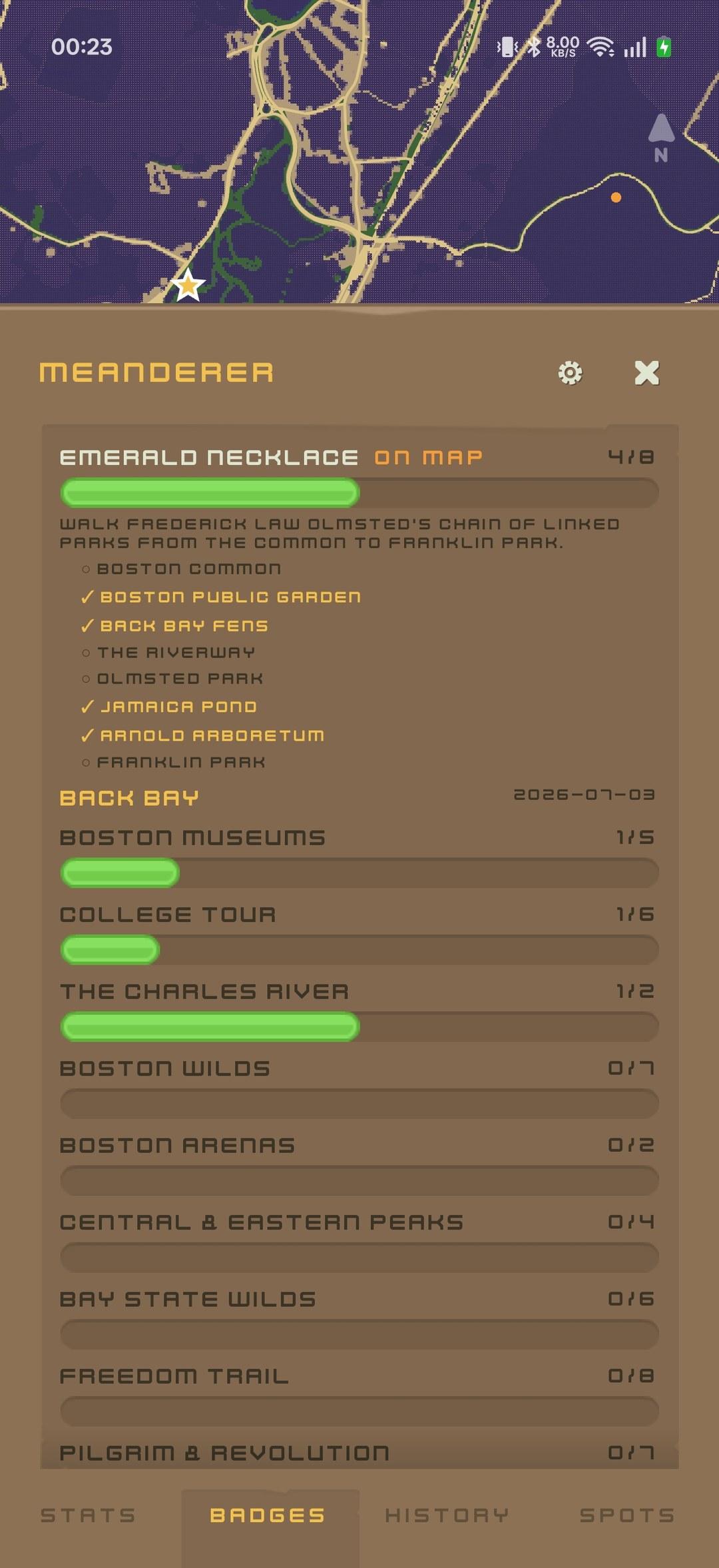
* A dated stamp for the first visit to each city, region and country, collected in a scrapbook passport beside the landmarks and badges you have found.
* Cleared ground counts as XP up a ladder of real-world landmarks, rewarding new ground only: no streaks, no daily-engagement pressure.
* Photos pin to a spot, clear the fog around them, and sit on the map as thumbnails.
* Import GPX or Google Timeline history. Export GPX or a full JSON backup.
* Optional WebDAV backup to your own Nextcloud, on startup, daily and on demand. Off until you configure a server.
* Landmark and badge packs are plain JSON, loadable at runtime with no app update.
Online OpenStreetMap data (the OpenFreeMap basemap, Overpass for terrain and place names) is on by default and can be turned off in settings; with it off, the app makes no network requests. While it is on, the app fetches public map data for the area you visit, which discloses your rough location to those servers, and caches it on the device. Both endpoints can be pointed at a server of your own.
Map data © OpenStreetMap contributors, licensed under the Open Database Licence.
Free software, licensed AGPL-3.0-or-later.
It is not a social network. Your location data stays on your device and moves only where you explicitly send it. Logging, fog clearing and rendering all work offline, and the app asks for nothing on first launch: the map opens fogged, and each permission is requested at the moment you switch the feature on.
Features:
* Live GPS fog clearing on a pixel-art top-down map. The reveal radius follows the fix's own reported accuracy, nudged by the terrain under it, so a precise fix marks a small disc and a vague one is thrown away.
* Dithered gradient fog drawn by a GPU shader, pixel-locked at every zoom.
* Raw track points and a per-tile heatmap stored locally in SQLite. The heatmap is a cache the app can throw away and rebuild from the points.
* A dated stamp for the first visit to each city, region and country, collected in a scrapbook passport beside the landmarks and badges you have found.
* Cleared ground counts as XP up a ladder of real-world landmarks, rewarding new ground only: no streaks, no daily-engagement pressure.
* Photos pin to a spot, clear the fog around them, and sit on the map as thumbnails.
* Import GPX or Google Timeline history. Export GPX or a full JSON backup.
* Optional WebDAV backup to your own Nextcloud, on startup, daily and on demand. Off until you configure a server.
* Landmark and badge packs are plain JSON, loadable at runtime with no app update.
Online OpenStreetMap data (the OpenFreeMap basemap, Overpass for terrain and place names) is on by default and can be turned off in settings; with it off, the app makes no network requests. While it is on, the app fetches public map data for the area you visit, which discloses your rough location to those servers, and caches it on the device. Both endpoints can be pointed at a server of your own.
Map data © OpenStreetMap contributors, licensed under the Open Database Licence.
Free software, licensed AGPL-3.0-or-later.