GraphHopper Maps
Online route planner and experimental GPS navigation
Version: 3.0.2
Added: 19-12-2021
Updated: 26-06-2026
Added: 19-12-2021
Updated: 26-06-2026
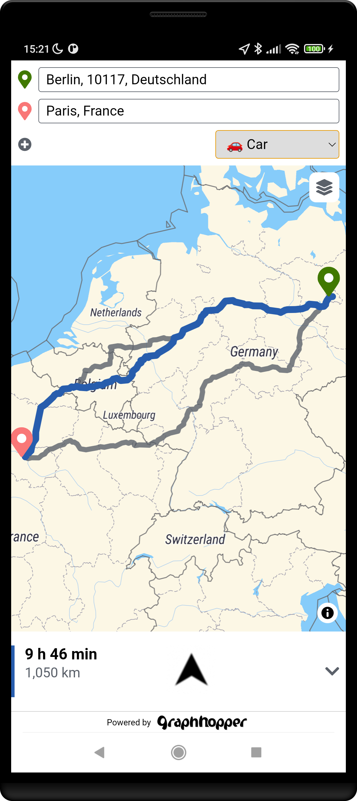
GraphHopper Maps is an online route planner based on OpenStreetMap data and open source software. It calculates routes and alternatives very fast. It supports several modes of transport like car, bike, hiking, walking and more. You can add multiple stops to your route and on bigger screens view the road attributes like elevation, surface or max speed for that route.
Read more: https://www.graphhopper.com/maps-route-planner/
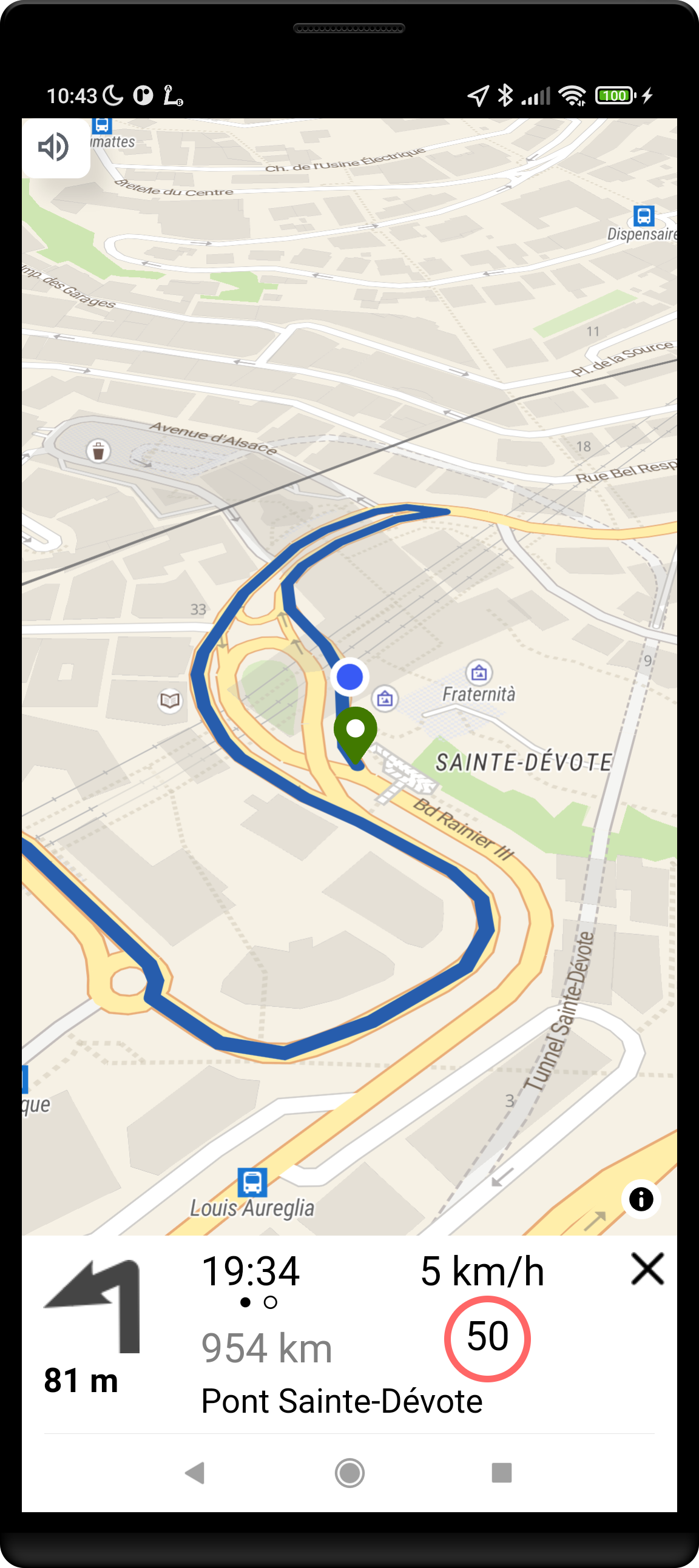
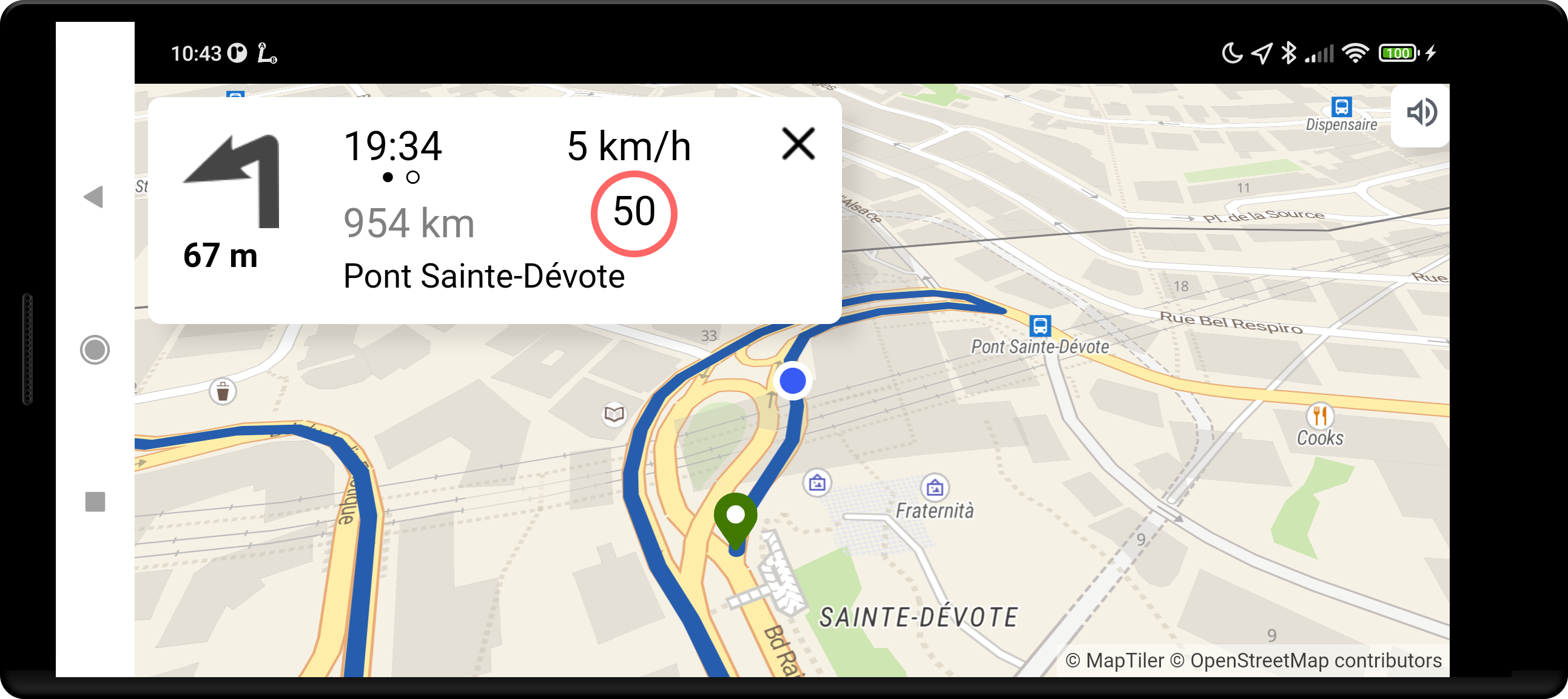
After you calculated the route and your GPS location is enabled you can start the GPS navigation which guides you to your destination. Note, that this is an experimental feature. Understand that you are using this free application at your own risk and it comes WITHOUT WARRANTIES. See the Apache license 2.0 for more details. The provided instructions might be illegal or dangerous. Please always follow the local rules and regulations.
As GraphHopper is open source you can host the complete stack on your own servers. See github.com/graphhopper/graphhopper for the routing engine, github.com/onthegomap/planetiler for the map tiles, github.com/komoot/photon for the geocoding and github.com/boldtrn/graphhopper-maps-capacitor for the front end.
If there is an issue please use the issue tracker of the front end or send us an email: navi-feedback@graphhopper.com. Please include the version and if possible use the most recent application version and include the log information.
Read more: https://www.graphhopper.com/maps-route-planner/
After you calculated the route and your GPS location is enabled you can start the GPS navigation which guides you to your destination. Note, that this is an experimental feature. Understand that you are using this free application at your own risk and it comes WITHOUT WARRANTIES. See the Apache license 2.0 for more details. The provided instructions might be illegal or dangerous. Please always follow the local rules and regulations.
As GraphHopper is open source you can host the complete stack on your own servers. See github.com/graphhopper/graphhopper for the routing engine, github.com/onthegomap/planetiler for the map tiles, github.com/komoot/photon for the geocoding and github.com/boldtrn/graphhopper-maps-capacitor for the front end.
If there is an issue please use the issue tracker of the front end or send us an email: navi-feedback@graphhopper.com. Please include the version and if possible use the most recent application version and include the log information.