Megalith LiDAR
UK 1 m LiDAR & aerial cropmark monument atlas with OsmAnd GPS exports
Version: 3.2.0
Added: 17-11-2026
Updated: 17-11-2026
Added: 17-11-2026
Updated: 17-11-2026
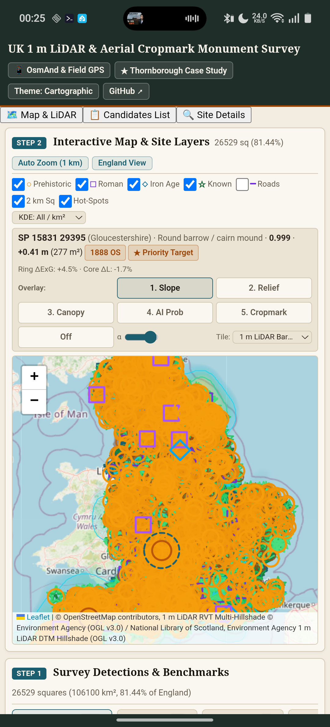
Megalith LiDAR is an open-source field survey atlas of unrecorded Prehistoric, Iron Age, and Roman earthwork candidates across England, detected from 1 m Environment Agency bare-earth LiDAR and 16 m aerial cropmarks.
Every candidate is cross-checked against 1888–1913 Ordnance Survey Six-Inch maps, Historic England's National Heritage List for England (NHLE), OpenStreetMap archaeology and modern confounders, and Megalithic.co.uk.
Key Features:
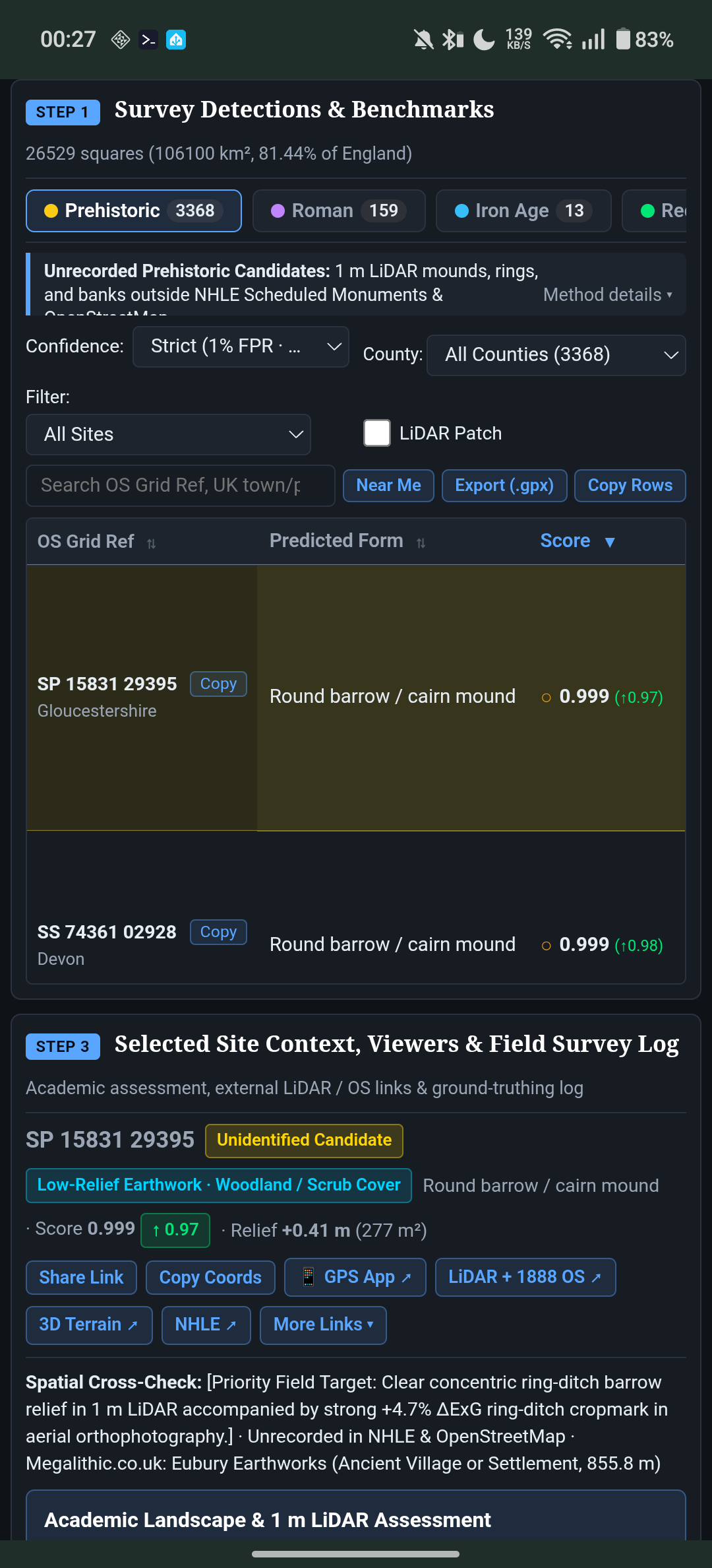
- Offline Bundled Survey Dataset: Browse Prehistoric barrows, henges, Roman villas/camps/aggers, Iron Age hillforts, settlement enclosures, and rediscovered Scheduled Monuments across English counties with no account or tracking.
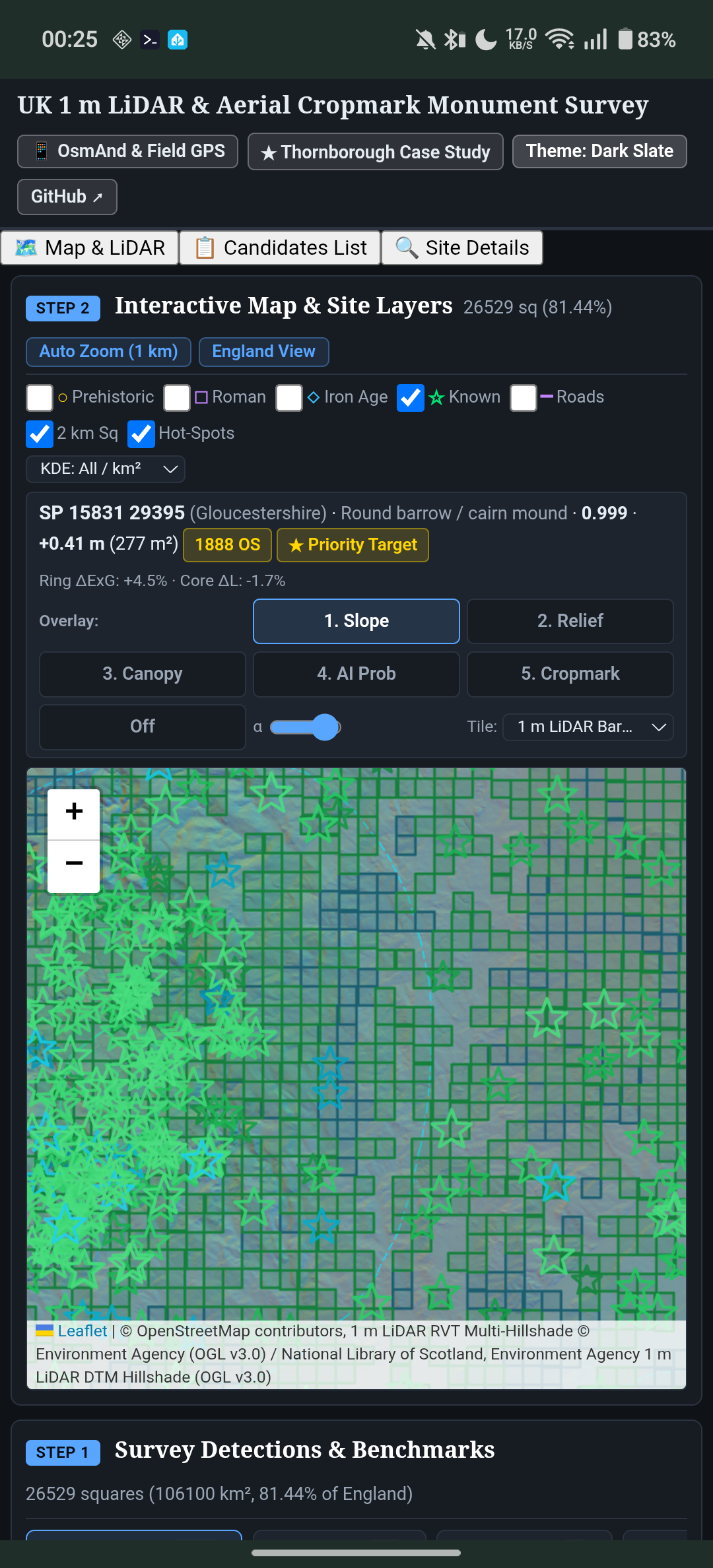
- Interactive Multi-Layer Map & 7-Panel Site Inspector: Switch between 1 m LiDAR DTM Bare-Earth Hillshade, 1 m LiDAR RVT Multi-Hillshade, 1 m LiDAR DSM Canopy, 1888–1913 OS Six-Inch maps, Roman Empire Atlas (DARE), BGS 1:50k Bedrock Geology, and aerial imagery, with geo-draped 256 m × 256 m slope, 16 m local relief, canopy, AI probability, and aerial cropmark overlays.
- One-Tap OsmAnd & Field GPS Integration: Export the custom OsmAnd plugin (.osf) with modular GPX track layers, Roman and ancient ridgeway routes, and custom 1 m LiDAR / 1888 OS map sources, or export filtered GPX waypoints directly to OsmAnd, Organic Maps, Garmin, or QGIS.
- Near Me GPS & Field Survey Log: Sort candidates by distance from your live GPS position and record ground-truthing verdicts, Historic Environment Record (HER) references, and field observations locally with JSON import/export.
Licensed under GNU AGPL v3.0. Contains Environment Agency Open LiDAR data (OGL v3.0), Historic England NHLE data (OGL v3.0), and OpenStreetMap contributors (ODbL).