Navi
Added: 16-10-2026
Updated: 16-10-2026
Navi is an offline-first navigation app. Download map data once, then plan and follow routes on the device without needing the internet for every trip.
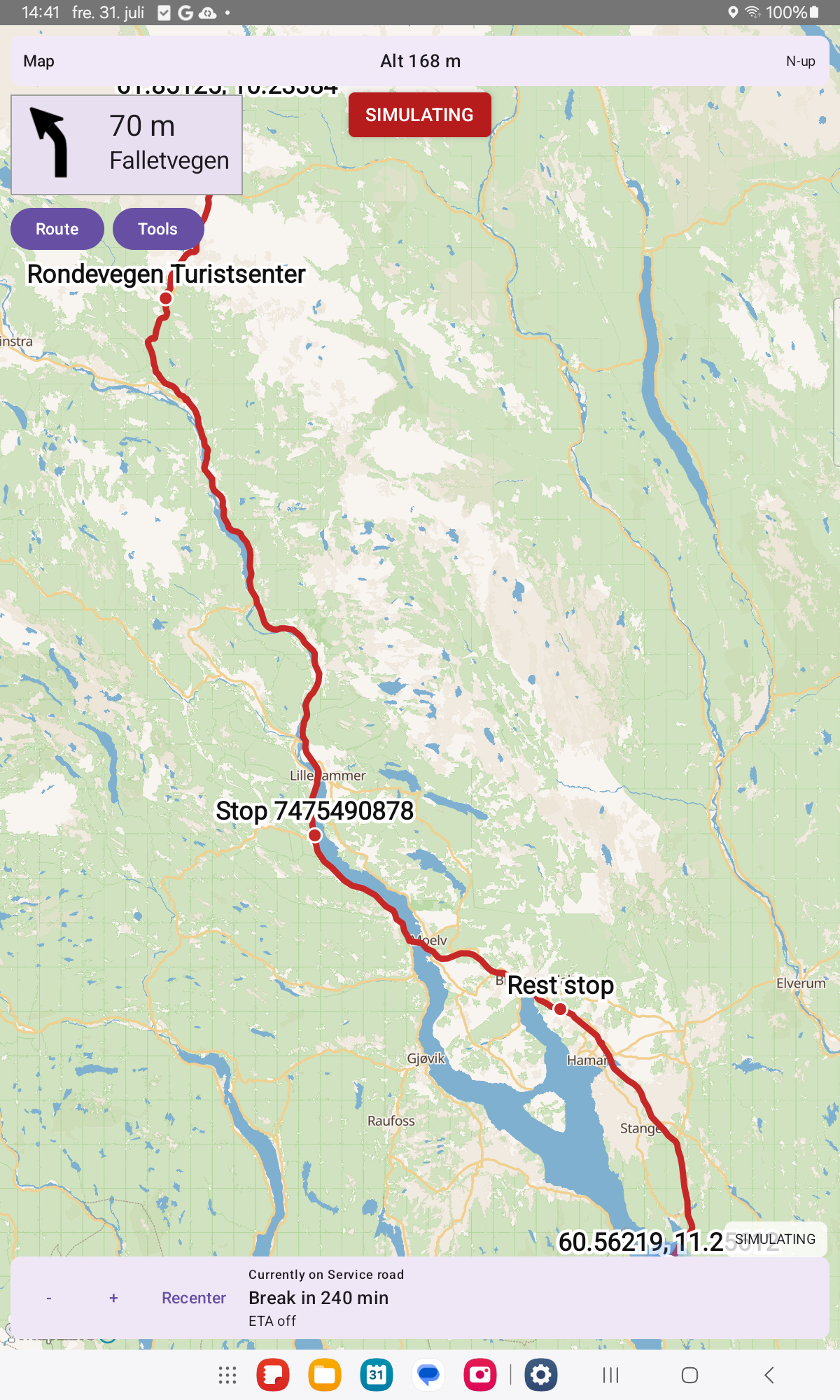
Travel modes include car, bicycle, e-bike, hiking, motorcycle, truck, and motorhome. Optional vehicle size limits skip roads that are too tight. Avoidances cover motorways, tolls, and ferries. Avoid-motorways skips OSM motorways, motorroad/expressway roads, and dual carriageways at 90 km/h or faster — not every E-road or urban arterial.
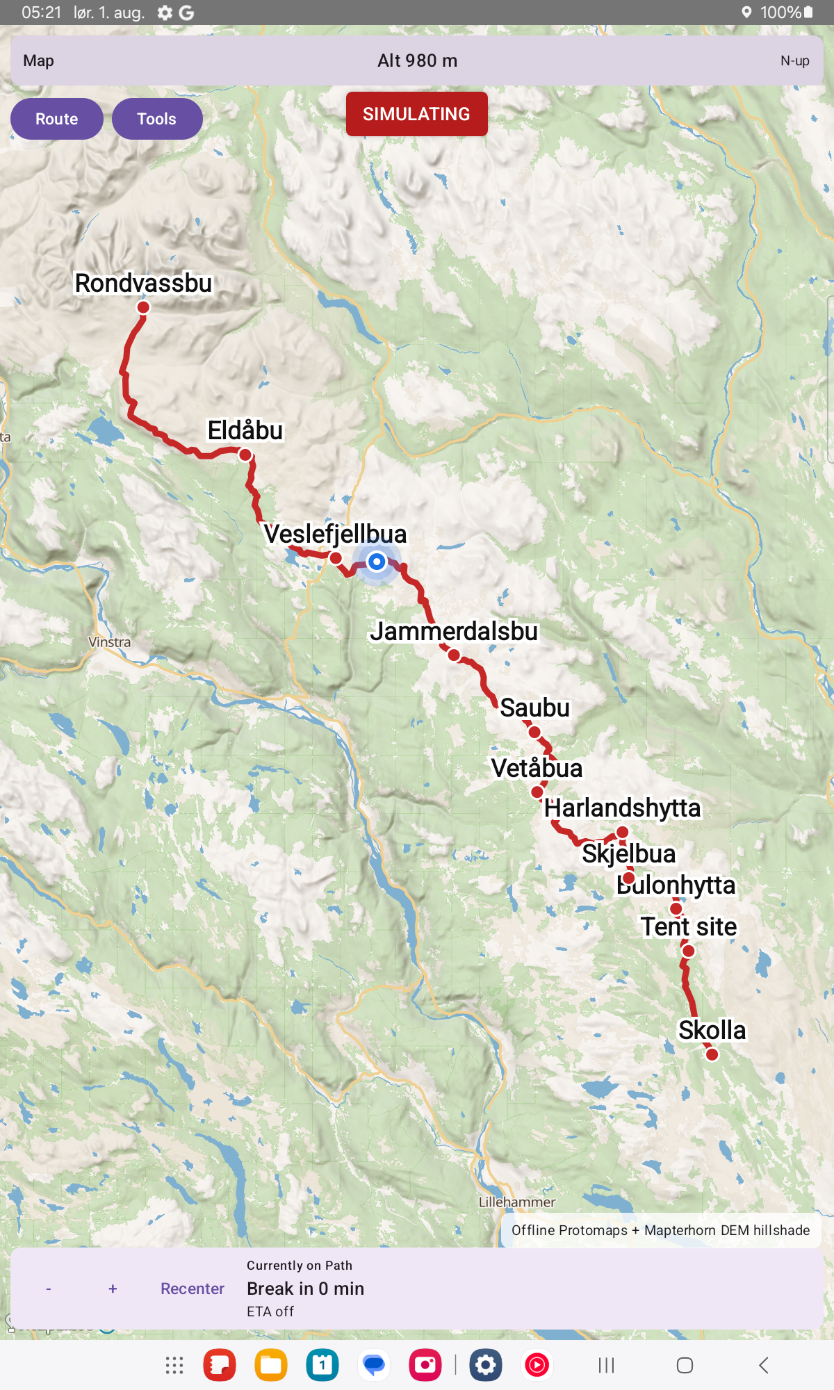
Eco routing prefers gentler, less energy-hungry roads by taking hills into account. Hiking and cycling can optionally prefer marked long-distance and pilgrim-style trails, with normal paths used when a marked trail has a gap.
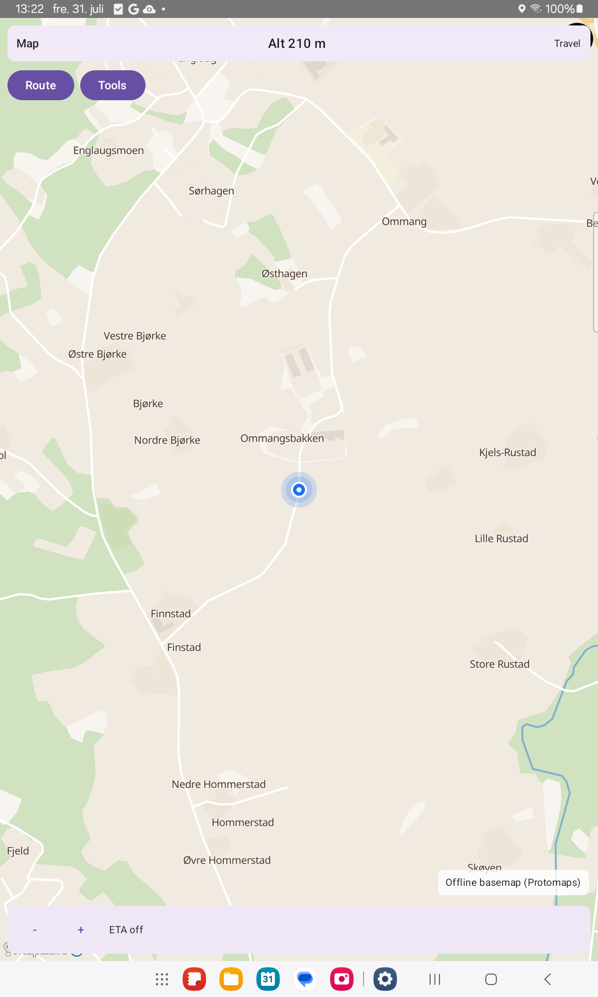
Download a region (OpenStreetMap extract), an offline basemap, and optional elevation/terrain data in Tools. A background indexing job builds compact routing packs so later plans are fast; you can still plan while indexing runs. Map updates are never silent — only when you ask.
On the road:
- Place search, From / Via / To, GPS fill, map mark and saved places
- Off-route detection and reroute
- Break and rest suggestions, including truck driving-time rules where known
- Drive bars with altitude and trip ETA
- GPS follow, and north-up / compass / direction-of-travel map rotation
- Optional experimental 3D hill shading and map tilt
Navi is free and open source (GPL-3.0-or-later). There are no ads and no tracking. Network use is for downloads and updates you choose — not for silent data collection.