OpenTrail
OSM-based England and Wales walking app
Version: 0.6.0
Added: 03-05-2019
Updated: 05-08-2021
Added: 03-05-2019
Updated: 05-08-2021
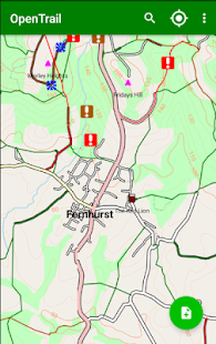
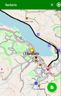
OpenStreetMap-based Android app for UK walkers and other countryside users,
highlighting rights of way and showing contours from OS OpenData. Allows
both online and offline use. In addition to navigation, walkers may share
and download footpath issues (blockages, directions etc) and walking
routes.
Antifeatures:
* NonFreeNet: The map data is OpenStreetMap-derived but it is downloaded
from the Freemap server. OpenTrail does not currently send any personal
information (such as your Google login) to the Freemap server. All data sent
is completely anonymous. Location tracking (GPS) is used to find your
location and to download nearby points of interest from the server. Server
requests (to find all points of interest close to a given GPS location) are
logged using standard server (Apache) logging; however they are not
associated with a username or name.