OSM Dashboard (Offline)
OpenStreetMap dashboard for OpenTracks without internet permission
Version: 6.10.0
Added: 13-10-2020
Updated: 16-06-2026
Added: 13-10-2020
Updated: 16-06-2026
Offline version of the OpenStreetMap dashboard for OpenTracks.
Can be used as standalone GPX and location viewer as well.
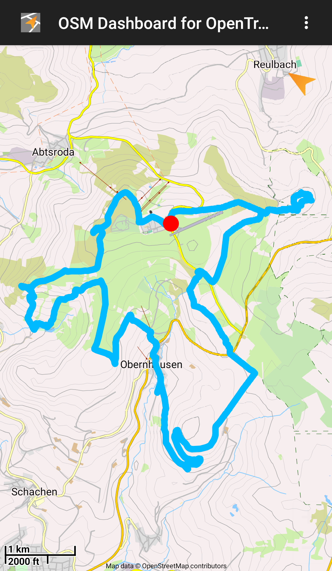
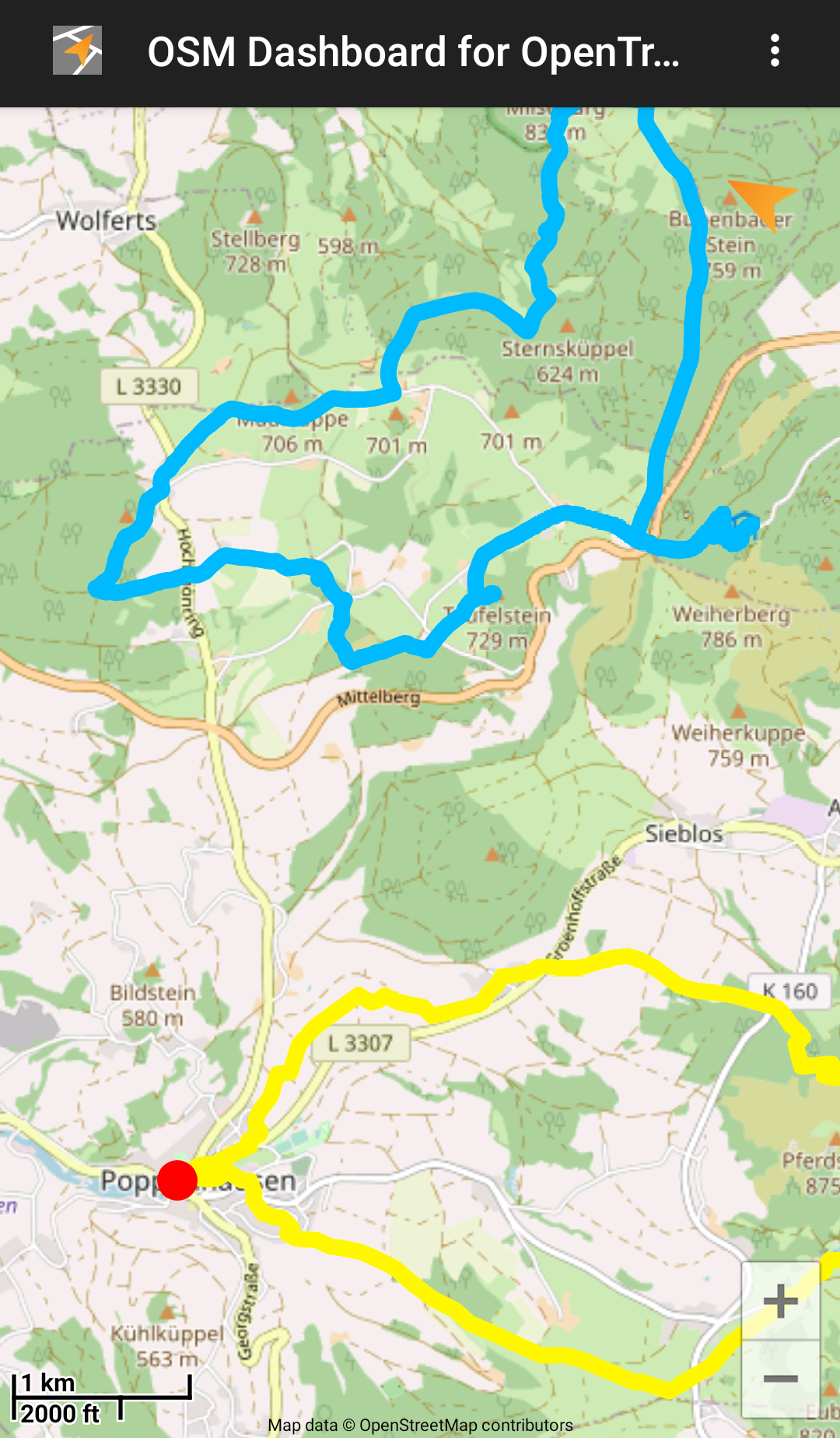
It shows a selected track with start- and endpoints on a map from OpenStreetMap
based on the Mapsforge VTM library.
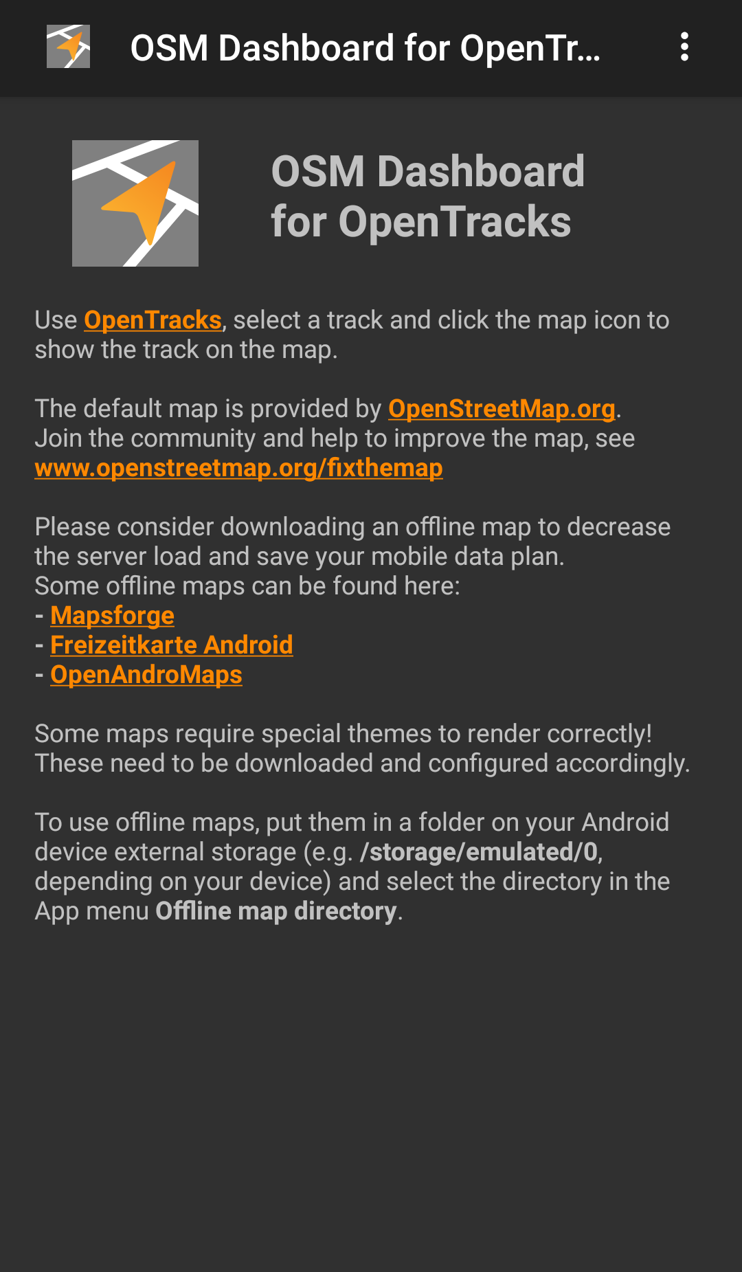
This version only supports offline maps, which have to be downloaded manually.
Join the OSM community and help to improve the map,
see www.openstreetmap.org/fixthemap
Some offline maps can be found here:
- Mapsforge
- Freizeitkarte Android
- OpenAndroMaps
Some maps require special themes to render correctly! These need to be downloaded and configured accordingly.
Some browsers (e.g. Firefox) require a long click on the link and "Open link in external app" and then choose OSMDashboard.
Manual downloaded offline maps or maps shared with other apps can be opened from your Android device.
Select the directory in the menu "Map directory".
Can be used as standalone GPX and location viewer as well.
It shows a selected track with start- and endpoints on a map from OpenStreetMap
based on the Mapsforge VTM library.
This version only supports offline maps, which have to be downloaded manually.
Join the OSM community and help to improve the map,
see www.openstreetmap.org/fixthemap
Some offline maps can be found here:
- Mapsforge
- Freizeitkarte Android
- OpenAndroMaps
Some maps require special themes to render correctly! These need to be downloaded and configured accordingly.
Some browsers (e.g. Firefox) require a long click on the link and "Open link in external app" and then choose OSMDashboard.
Manual downloaded offline maps or maps shared with other apps can be opened from your Android device.
Select the directory in the menu "Map directory".