Vario
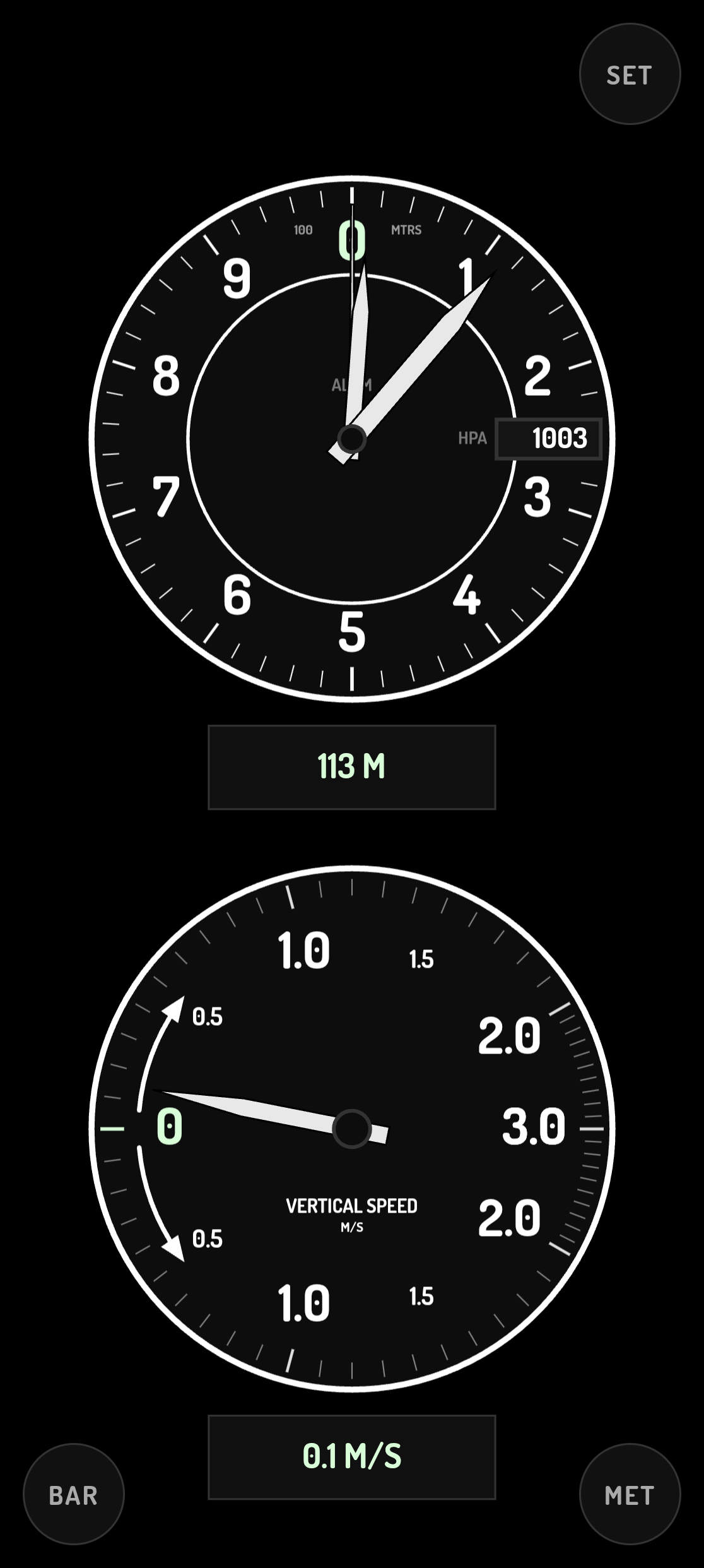
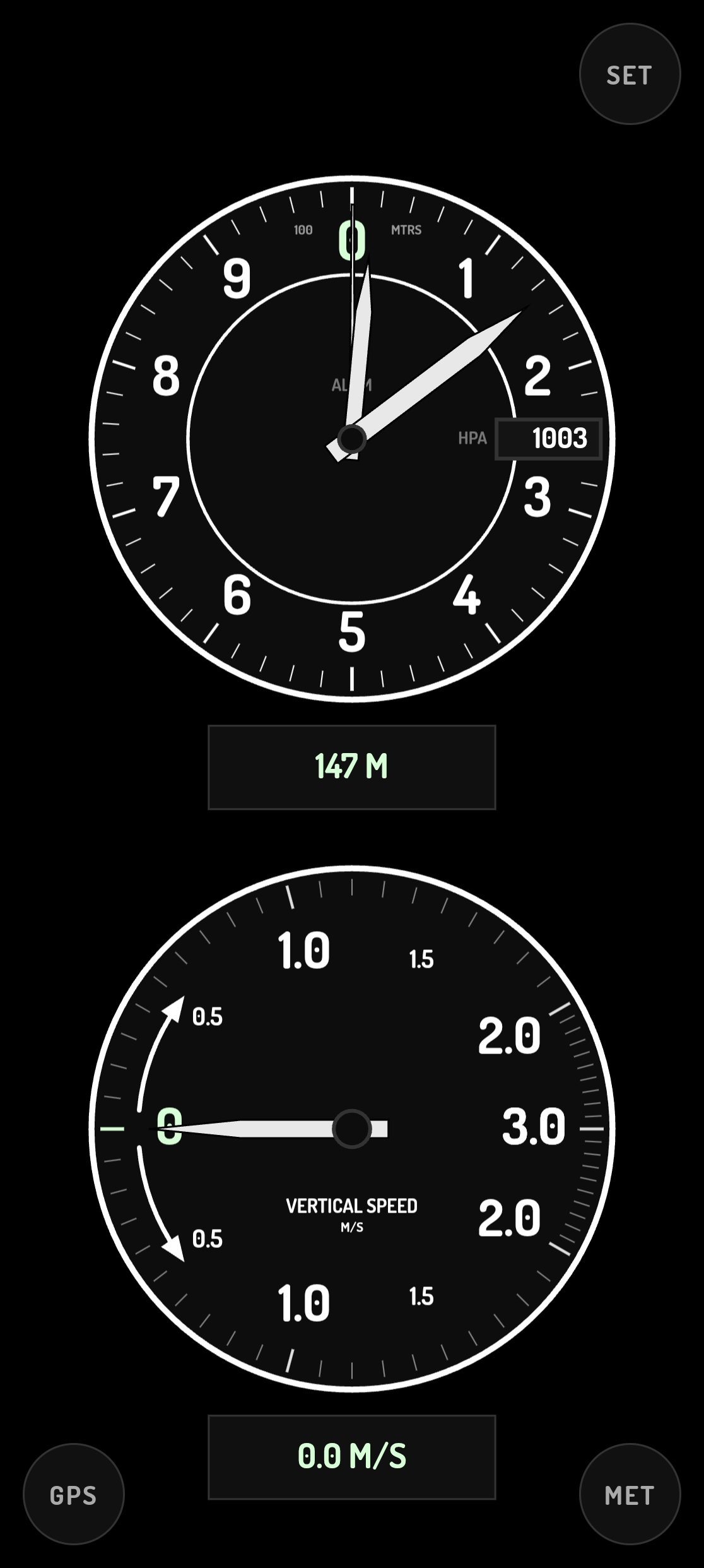
Aircraft-like altimeter and variometer with GPS, terrain and barometer modes.
Version: 1.2.0
Added: 16-10-2026
Updated: 16-10-2026
Added: 16-10-2026
Updated: 16-10-2026
Aircraft altimeter and variometer instruments for your phone, for aviation
enthusiasts. Not for navigation use, just for fun!
Three altitude sources, cycled with the MODE button:
* GPS - altitude straight from the GPS receiver. Very coarse.
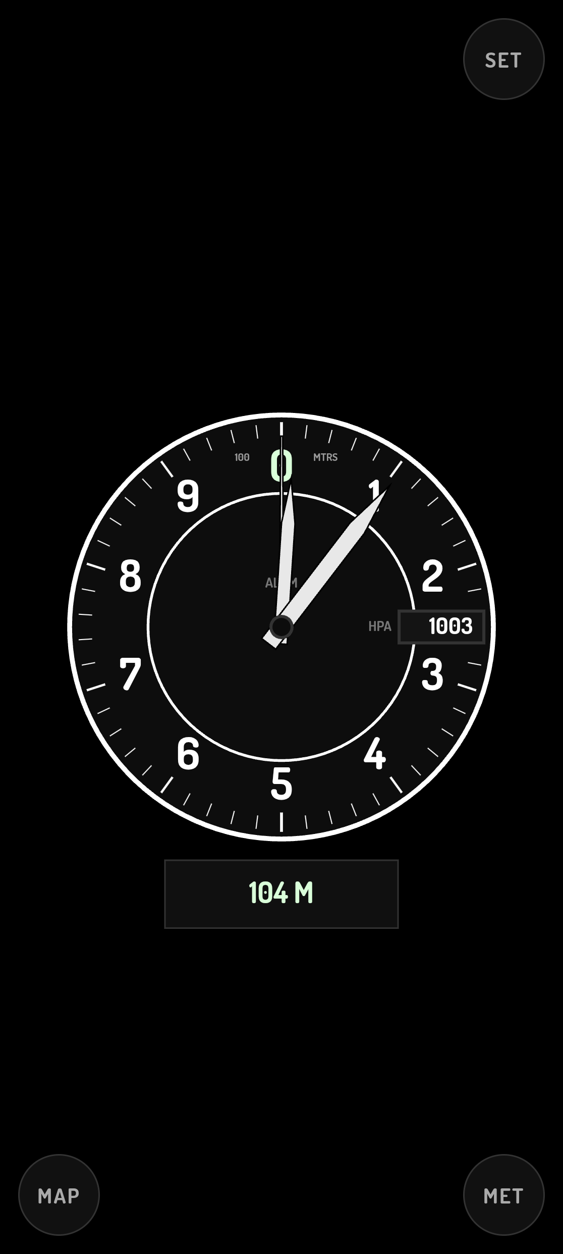
* MAP - ground (terrain) elevation below your position, from the Open-Meteo
elevation API (GLO-90). This is ground elevation, not height above ground.
* BAR - barometric altitude, computed from the pressure sensor in the
device and sea-level pressure (QNH) which is fetched from api.met.no.
Accurat and fast. QNH can be set manually if you do not want to give position
access.
The altimeter is the classic three-pointer 100s / 1000s / 10 000s layout with a
Kollsman window. Tap a dial to zoom in, tap again to zoom out. IMP/MET switches
between feet and metres. Long-press MODE or IMP/MET toggles a debug overlay
with a pressure strip chart in BAR mode.
Privacy:
* No accounts, no analytics, no ads, no crash reporting.
* Settings are stored on the device only.
* Coordinates rounded to four decimal places are sent to
api.met.no (QNH) and api.open-meteo.com (terrain elevation); those two
services see your IP address as well.
* Everything except the two QNH/elevation lookups is offline.
No Google Play Services, no proprietary libraries, no closed-source SDKs.
enthusiasts. Not for navigation use, just for fun!
Three altitude sources, cycled with the MODE button:
* GPS - altitude straight from the GPS receiver. Very coarse.
* MAP - ground (terrain) elevation below your position, from the Open-Meteo
elevation API (GLO-90). This is ground elevation, not height above ground.
* BAR - barometric altitude, computed from the pressure sensor in the
device and sea-level pressure (QNH) which is fetched from api.met.no.
Accurat and fast. QNH can be set manually if you do not want to give position
access.
The altimeter is the classic three-pointer 100s / 1000s / 10 000s layout with a
Kollsman window. Tap a dial to zoom in, tap again to zoom out. IMP/MET switches
between feet and metres. Long-press MODE or IMP/MET toggles a debug overlay
with a pressure strip chart in BAR mode.
Privacy:
* No accounts, no analytics, no ads, no crash reporting.
* Settings are stored on the device only.
* Coordinates rounded to four decimal places are sent to
api.met.no (QNH) and api.open-meteo.com (terrain elevation); those two
services see your IP address as well.
* Everything except the two QNH/elevation lookups is offline.
No Google Play Services, no proprietary libraries, no closed-source SDKs.